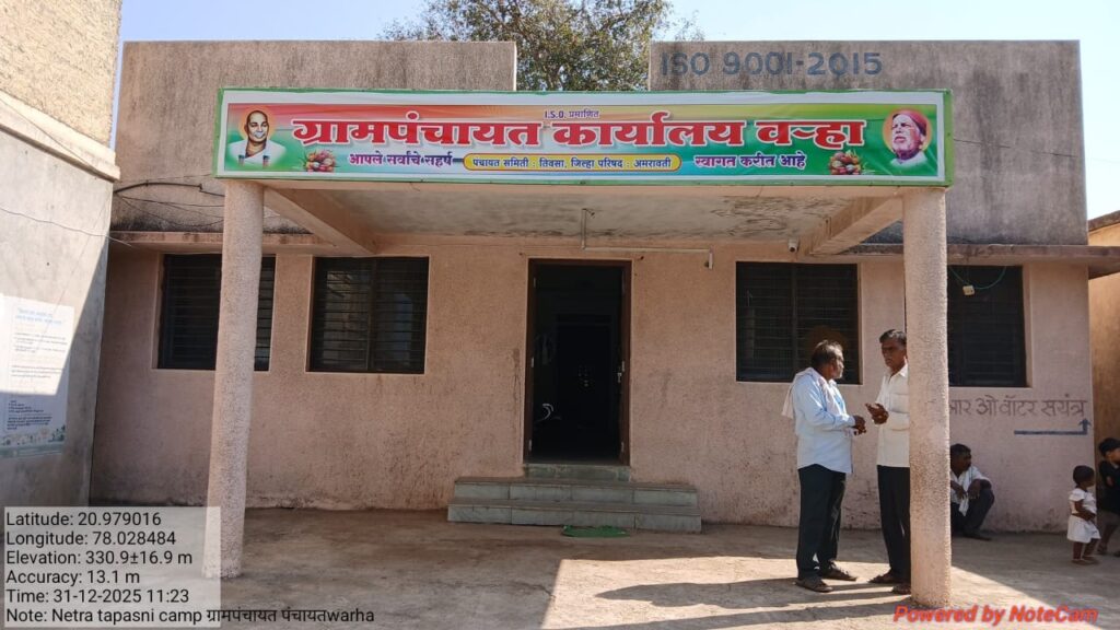
Warha Gram Panchayat was established on 1st January 1949 and is a rural local self-governing institution under the Amravati Zilla Parishad and Tivsa Panchayat Samiti. The jurisdiction of Warha Gram Panchayat includes one village.
Warha Gram Panchayat is divided into 5 wards. There are a total of 9 schools within the Warha Gram Panchayat area. According to the 2011 Census, the location code / PIN code of Warha village is 444903. Warha village is the largest village in terms of population in Tivsa Taluka of Amravati district, Maharashtra, India.The sub-district headquarters (Tehsildar Office) is located 17 km from Warha, and the district headquarters is 31 km away.The total geographical area of the village is 1,953.47 hectares. As per the 2011 Census, the population of Warha village is 5,554, consisting of 3,054 males and 2,500 females. This indicates a sex ratio of approximately 890 females per 1,000 males.The literacy rate of Warha village is 94%, with male literacy at 92.54% and female literacy at 87.59%. There are approximately 1,475 households in Warha village.